- Home
- Faculty Members
- Department of Electrical and Electronic Engineering
- Tomoyuki Nakajo
Faculty of Engineering
Department of Electrical and Electronic Engineering
- Key words
- Satellite/drone remote sensing, satellite data utilization, satellite ground station

Doctor of Science / Professor
Tomoyuki Nakajo
Education
Department of Geophysics, Faculty of Science, Tohoku University
Tohoku University Graduate School of Science, Department of Geophysics, Master’s program
Tohoku University Graduate School of Science, Department of Geophysics, Doctoral program
Professional Background
Lecturer, Associate professor, Fukui University of Technology
Professor at Fukui University of Technology
Consultations, Lectures, and Collaborative Research Themes
Utilization of satellite data, remote sensing using drone, satellite operation using satellite ground station in Fukui University of Technology
Main research themes and their characteristics
「Measurement of local environment and creation of social value using various platforms」
It is recognized that data-driven society, that is, the transition to a society in which various decisions are made based on the collection/accumulation and analysis of data, with the goal of creating great social value. We believe that it is important to fuse diverse data on various platforms, and we will introduce our efforts so far.
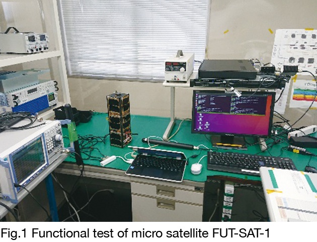
1. Development of light pollution visualization system by satellite x IoT
Japan is one of the world's largest "light pollution countries", and 70% of the people live in an area where the Milky Way cannot be seen. In recent years, efforts to utilize the beautiful starry sky for regional revitalization have become active, and promotion of measures against light pollution is required, but it is not progressing because it is difficult to understand the effects of light pollution and the effects of light pollution measures. As a solution, we are working on the development of a light pollution visualization system using artificial satellites and terrestrial IoT. So far, (1) we developed a light propagation model that derives the information necessary to control light pollution as a 2.5-dimensional model, and (2) conducted a simulation that combined this model with the data of artificial satellites and ground-based observers. It was shown that the value of the starry sky in the Okuetsu region could be changed from the current silver award to the gold award if 30% of the light leaking upward from the outdoor lighting in the Okuetsu region of the prefecture could be cut. We plan to launch nano-satellite FUT-SAT-1 (Fig.1) for more precise estimation.
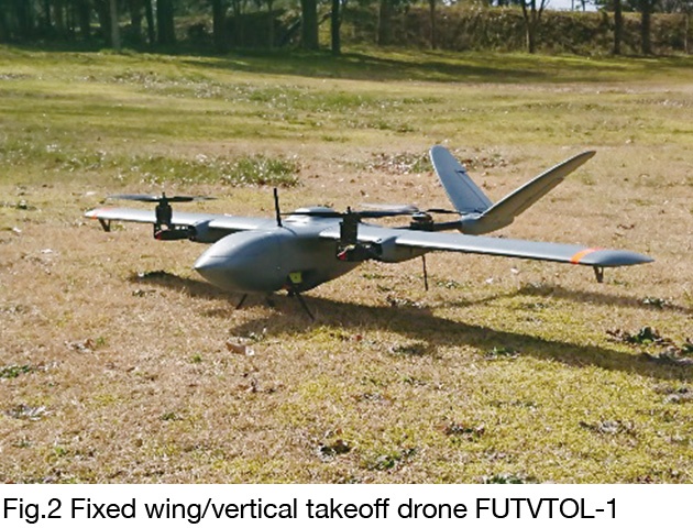
2. Environmental measurement with fixed-wing/vertical take-off drone
Aerial photography experiments using the newly developed vertical take-off and fixed-wing drone FUTVTOL-1 (Fig.2) showed the following.
(1) FUTVTOL-1 flew as expected and succeeded in daytime and nighttime ground shooting using a low-cost camera that combined a Raspberry PiCamera V2 and a small wide-angle lens. (2) In particular, the fact that we were able to take an image of an area of about 600 m square around the Awara Campus in a net flight of 3 minutes indicates the possibility of future wide-area observation with FUTVTOL-1. (3) The coefficient of determination between the blue band and red band brightness values of the daytime field image captured by FUTVTOL-1 and the NDVI value obtained by the Sentinel-2 satellite was 0.9216 and 0.9276, which were extremely high results. It was shown that it is possible to combine aerial image data from low-cost cameras and large satellite data. (4) The results of nighttime aerial photography with FUTVTOL-1 showed the possibility of outdoor lighting environment measurement with a fixed-wing drone.
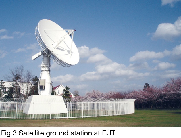
3. Reception of artificial satellite data by Awara campus satellite ground station
Since 2003, Fukui University of Technology has been working on receiving artificial satellite data using satellite ground station (Fig.3) on the Awara campus. From 2012 to 2013, we participated in the operation of Tohoku University's microsatellite and contributed to the success of 100kbps highspeed communication in the S band.
Major academic publications
T. NAKAJO, S. YAMAURA, F. ONOMA, M. SHIBAYAMA, T. AOYAMA, Y. KATO, Y. ITO, and H. KATO, A Project Useful for Starry Sky Protection by Collaboration Between Night Time Artificial Light Observation from Space and Night Sky Brightness Observation on the Ground, Aerospace Technology Japan ISTS selected papers, accepted, 2020.
T. NAKAJO, S. YAMAURA, Aerial photography experiment by fixed wing and vertical take-off / landing type drone FUTVTOL-1, Memoirs of Fukui Univ. Tech., 2020, in press.
T. NAKAJO, T. AOYAMA, Y. KATO, Current status and future perspective of 10 m parabolic antenna system in Awara campus as a satellite earth station opening a new window to universe, Memoirs of Fukui University of Technology, Vol.43, pp. 58-65, 2013.
Y. SAKAMOTO, Y. TANABE, H. YAGISAWA, N. SUGIMURA, K. YOSHIDA, M. NISHIO, T. NAKAJO, and H. AKIYAMA, Operation Results of Cubesat RAIKO Released from International Space Station, The proceedings of the 29th International Symposium on Space Technology and Science (29th ISTS), 2013.